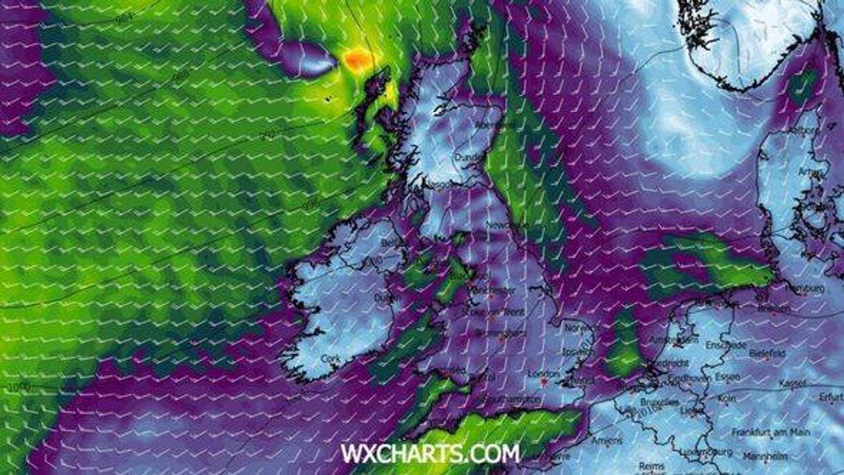


Twelve regions in the UK are preparing for significant snowfall and a drop in temperatures later this month, as indicated by the most recent weather data. According to the latest forecasts from WXCharts, wintry weather is set to move across the country on January 15.
The most substantial snow is anticipated in central Scotland, with snow depths expected to reach up to 28cm in Cairngorms National Park. Northern and central parts of Scotland could see snow accumulation ranging from 3cm to 27cm.
In southern Scotland, lighter snowfall of up to 2cm is forecasted, while the Lake District is expected to receive around 1cm of snow. The coldest temperatures are predicted in central Scotland, with temperatures plummeting to -8C in Cairngorms National Park. Cities such as Aberdeen and Glasgow are likely to experience temperatures ranging from -1C to -7C.
Northern England can anticipate temperatures between 0C and -2C, while the rest of England, Wales, and Northern Ireland will have milder conditions with temperatures between 1C and 5C, as reported by the Express.
The Met Office’s outlook for the upcoming period mentions, “Changeable and sometimes unsettled conditions are expected across the UK during this time. Low-pressure systems moving in from the Atlantic are likely to prevail, leading to showers or prolonged periods of rain across much of the UK.”
“Some heavy rain or showers are expected, mainly in western high ground where rainfall totals are likely to be highest. There is also a possibility of strong winds or gales, particularly around coastal areas and if any deep low-pressure systems form near the UK.”
“Intermittent periods of mostly dry weather are expected between weather systems. Overall, temperatures are projected to be near or slightly above average for this time of year.”
Scotland, England, and Northern Ireland are set to experience varying weather conditions in the coming days.