

A group of researchers has presented impressive new visual representations offering a unique view beneath the icy exterior of Antarctica.
Prior to this unveiling, more was known about the Moon’s surface than the hidden landscape beneath Antarctica’s thick ice. A collaborative effort has led to the creation of the most intricate map to date of the subglacial topography lying beneath the Antarctic Ice Sheet. This comprehensive map exposes a complex concealed world of mountains, valleys, and river channels which could play a significant role in forecasting future sea-level changes.
Published in the journal Science, this study involved meticulous efforts to digitally remove the ice, unveiling geological formations unseen for millions of years.
Professor Robert Bingham, a glaciologist from the University of Edinburgh who worked on this study alongside the University of Grenoble-Alpes, expressed his excitement to the BBC, stating, “I’m thrilled to be able to observe the entirety of Antarctica’s bed all at once. I find that truly remarkable.”
Some of the recently published maps exhibit a terrain akin to the striking features of the Alps, lying concealed beneath the Antarctic ice cover.
This depiction highlights the varying elevations below and above sea level, showcasing significant fluctuations and prominent peaks.
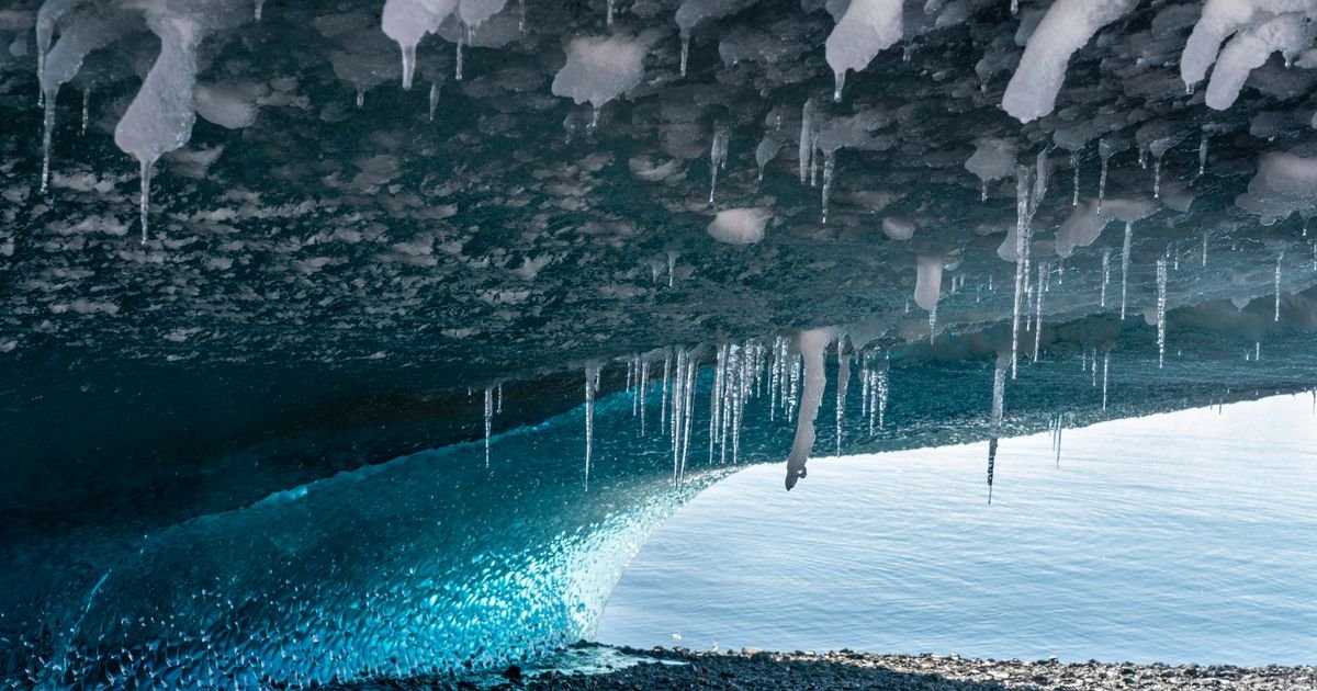
Several of Antarctica’s glaciers showcase dramatic ice formations within caves.
Another visual representation delves into notable Antarctic landmarks, such as the Hercules Dome and Zhigalov Subglacial Highlands.
A scientist emerges from an ice cave created by volcanic vents near the peak of Mt Erebus in Antarctica.
This map provides multiple measurements reflecting the continent’s diverse landscape.
This research will enable scientists to better estimate the potential ice loss from each glacier as temperatures continue to increase.
Scientists can now offer a detailed overview of the various types of landscapes spread across Antarctica.
Through the analysis of high-resolution satellite imagery of the ice surface, researchers identified minute elevations and depressions mirroring the rugged terrains buried beneath kilometers of ice.