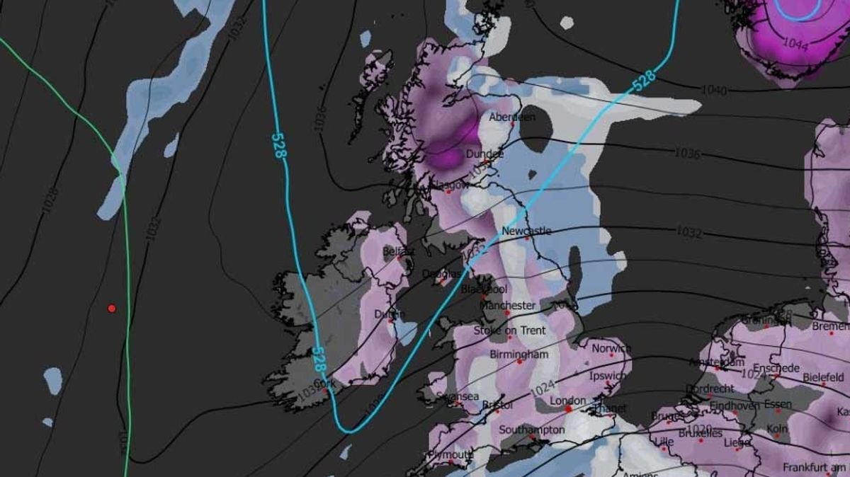


A potential ‘Beast from the East’ storm could bring more snow to the UK later this month. Forecast maps indicate a significant weather front moving across the country from the East on January 23, expected to cover the entire nation with snow. Cities like London, Birmingham, Manchester, Newcastle, and Glasgow are likely to experience snowfall around midday.
According to the GFS weather model, snow is projected to persist on January 23 and 24, affecting Wales and Northern Ireland as well. Snow coverage maps for January 24 and 25 depict a widespread snowfall pattern, with snow accumulation visible from southern England to northern Scotland, spanning approximately 600 miles. Various cities including London, Bristol, Cardiff, Birmingham, Nottingham, Norwich, Manchester, Newcastle, Edinburgh, Glasgow, Dundee, and Aberdeen are anticipated to have snow-covered grounds.
This upcoming blizzard may evoke memories of the notorious Beast From The East in 2018, characterized by frigid temperatures as low as -14C and snow depths exceeding 20 inches in some regions. However, the anticipated snow accumulations from the upcoming weather front are predicted to be less severe, with estimations of eight inches in Scotland, two inches in northern England, and one inch elsewhere.
BBC Weather’s extended forecasts suggest a likelihood of further snow later in January and early February. The forecast for January 19 to 25 indicates a low chance of significant snowfall, with possible wintry showers in northern areas, particularly in Scotland. The forecast for January 26 to February 8 anticipates mild westerly to southwesterly winds prevailing, accompanied by wet and windy weather from Atlantic low-pressure systems. Cold intervals are expected to be brief, primarily in northern UK regions, with temperatures likely to remain above normal.
Although uncertainties persist regarding future weather patterns, a temporary return to colder conditions cannot be ruled out, especially if high pressure systems develop over Scandinavia. Overall, the prevailing forecast suggests a general trend towards milder conditions rather than a sustained cold spell.